
1st Experimental Development and Demonstration Activity at Mavrokolympos Reservoir
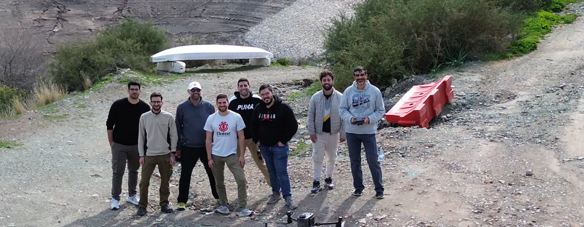
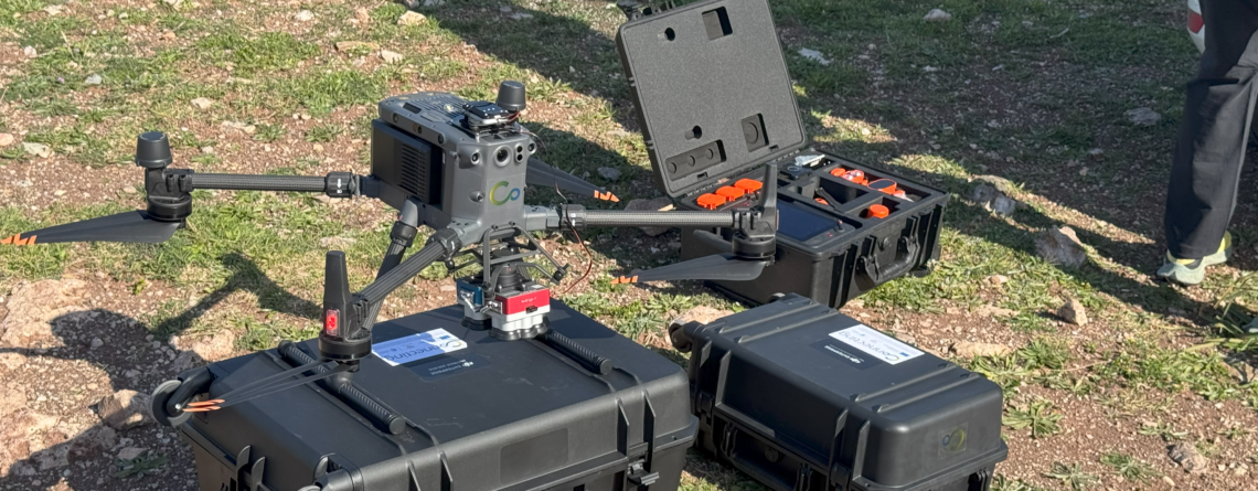
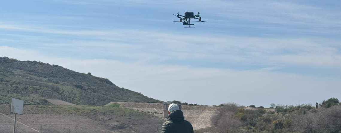
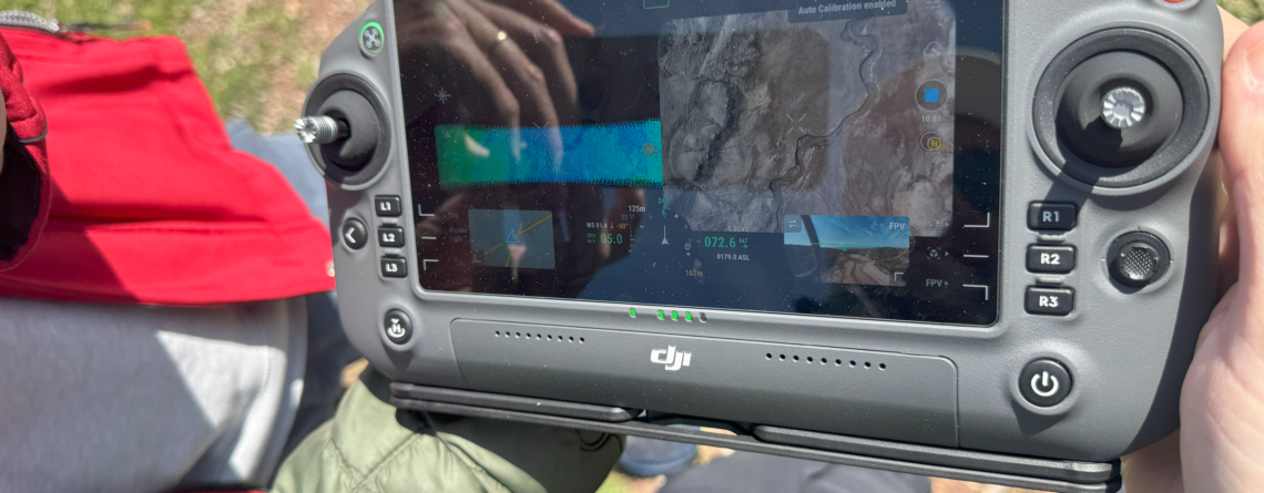
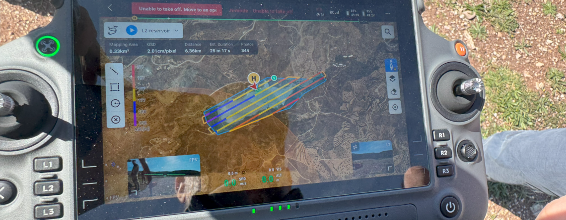
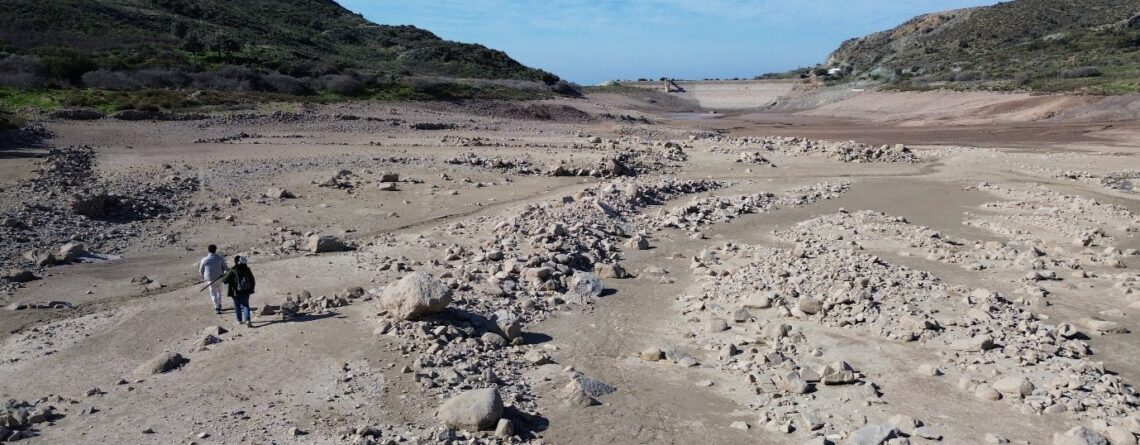
The research team of the Connecting Project, in collaboration with the Department of Civil Engineering and Geoinformatics Engineering at the Cyprus University of Technology, conducted a survey at the Mavrokolympos Reservoir to assess the impact of rapid water discharge caused by a malfunction. The survey was carried out using the DJI Matrice 350 RTK drone, an advanced aerial system equipped with high-precision sensors, making it one of the most sophisticated platforms available in Cyprus.
For this mission, the DJI Matrice 350 RTK was chosen due to its high endurance, 55-minute maximum flight time, and IP55-rated protection, ensuring reliability in demanding field conditions. This drone supports multiple payloads, allowing for the integration of both photogrammetry and LiDAR technologies to capture comprehensive geospatial data.
The survey team employed a combination of advanced sensors to ensure high-precision mapping and terrain analysis. The Zenmuse P1 full-frame photogrammetry camera captured high-resolution images for accurate mapping, while the Zenmuse L2 LiDAR sensor provided detailed elevation models and terrain reconstructions, offering critical insights into the topography of the reservoir bed.
These technologies enabled the team to assess morphological changes, contributing valuable data for research on water management, infrastructure resilience, and environmental monitoring. The project involved academic and research members, as well as doctoral and undergraduate students, who had the opportunity to gain hands-on experience with state-of-the-art geospatial technologies. Participants included Prof. Dimitrios Skarlatos, Asst. Prof. Apostolos Papakonstantinou, Dr. Stylianos H. Petrou, PhD candidates Marinos Vlachos, Nikolas Melillos, Kyriakos Michaelides, postgraduate student Giorgos Kafataris, and undergraduate student Stylianos Michail
This project highlights the importance of integrating drone-based remote sensing in infrastructure monitoring and disaster response, reinforcing the role of cutting-edge geospatial technologies in sustainable water resource management.