
Demonstration of the SLAM CHCNAV RS10 for Civil Engineering and Geoinformatics Students at CUT
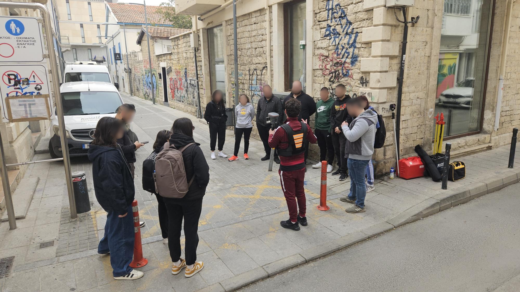
As part of the course Monument Documentation (GEO 436), a hands-on demonstration of the SLAM CHCNAV RS10 took place today for the 4th-year students of the Department of Civil Engineering and Geoinformatics at the Cyprus University of Technology (CUT). The demonstration was conducted by Prof. Dimitrio Skarlato, PhD candidate Marino Vlacho, and postgraduate student Giorgo Kafatari, all members of the Connecting Project.
During the session, students had the opportunity to explore the capabilities of the SLAM (Simultaneous Localization and Mapping) technology and understand its applications in high-precision 3D mapping. The demonstration included an outdoor performance, where the system was tested in real-world conditions, showcasing its efficiency in capturing spatial data with accuracy and speed.
This hands-on experience provided valuable insights into modern geospatial technologies, reinforcing the practical knowledge essential for their academic and professional development.