
Presentation of CONNECTING Project equipment to undergraduate students
As part of the GEO 436 – Monument Surveying course, 4th-year students from CUT participated in a presentation and briefing session led by Dr. Dimitrios Skaraltos and Dr. Apostolos Papakonstantinou, both members of the CONNECTING Project. The session provided an overview of the project’s advanced surveying equipment, highlighting its technical specifications, capabilities, and practical applications in heritage documentation and geospatial analysis.
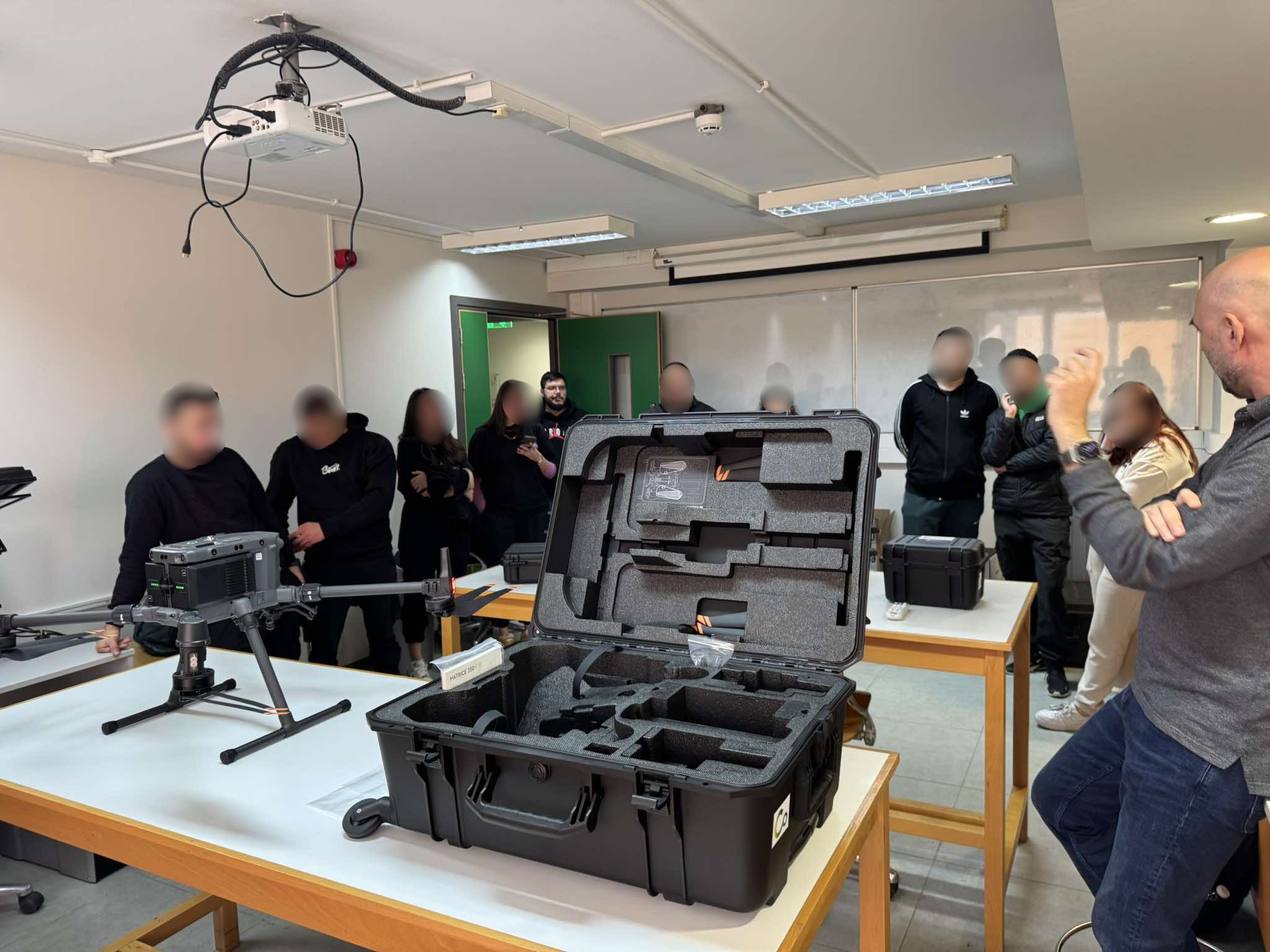
Special emphasis was placed on the DJI Matrice 350 drone, equipped with high-precision sensors such as the HAIP hyperspectral camera, the Zenmuse P1 photogrammetric camera, and the Zenmuse L2 LiDAR sensor, as well as the CHCNAV SLAM-SET RS 10 scanner. The session highlighted how these cutting-edge technologies support heritage documentation, monument surveying, and geospatial analysis, offering students valuable insights into modern data collection techniques for cultural heritage preservation.