
Service Catalogue Submission at Eurisy dashboard
Based on the success of the workshops, and the variety of different services demonstrated during the events, Eurisy is developing an interactive web dashboard showcasing the results of the workshops, including a Services Catalogue, for which the Cyprus University of Technology was invited in order to feature one of its related services within on a priority basis. These services are to be included on the Services Catalogue of the Eurisy.
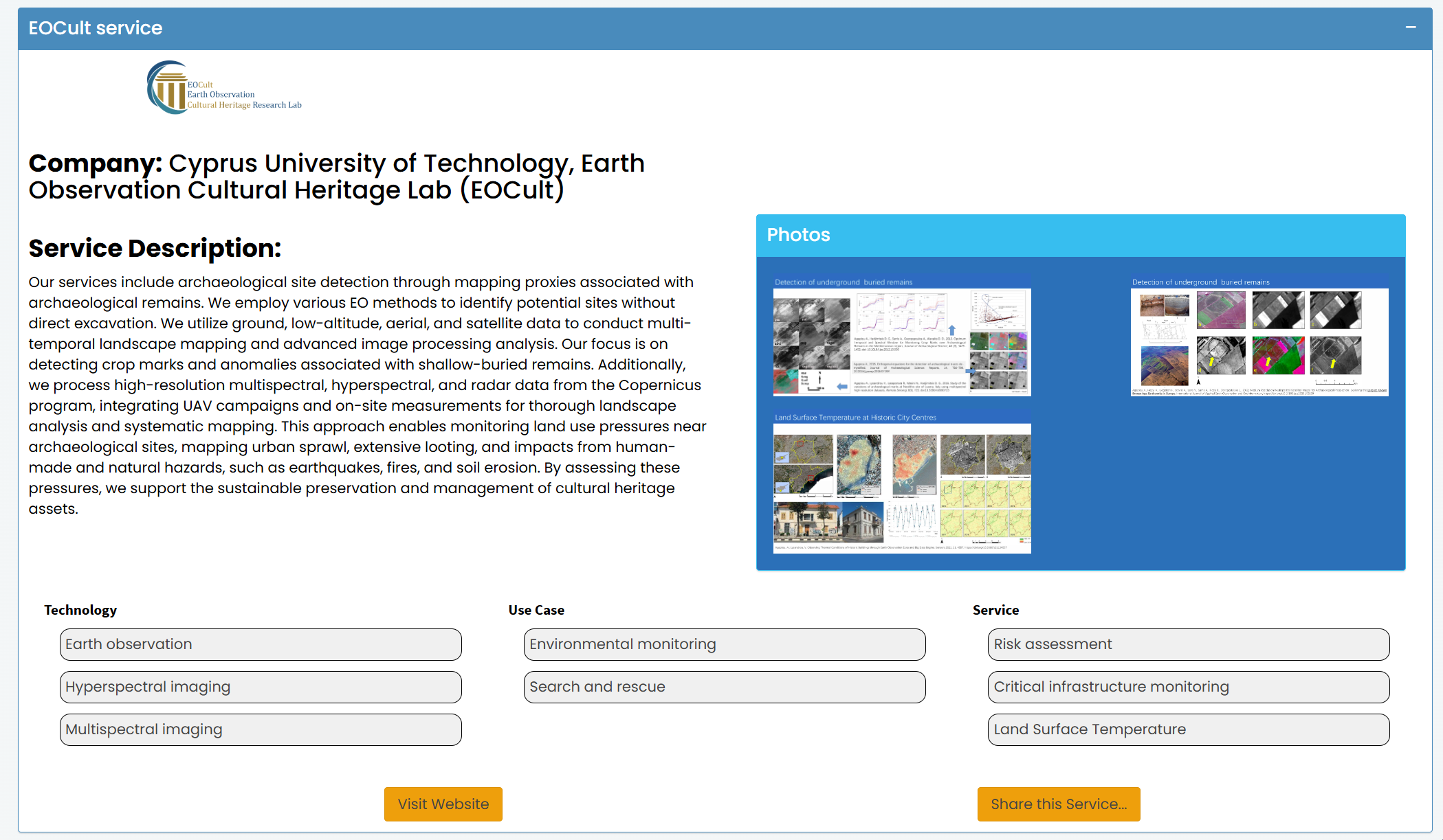
The description the services include archaeological site detection through mapping proxies associated with archaeological remain and the ability to process high-resolution multispectral, hyperspectral, and radar data from the Copernicus program, integrating UAV campaigns and on-site measurements for thorough landscape analysis and systematic mapping. This approach enables monitoring land use pressures near archaeological sites, mapping urban sprawl, extensive looting, and impacts from human-made and natural hazards, such as earthquakes, fires, and soil erosion. By assessing these pressures, we support the sustainable preservation and management of cultural heritage assets.