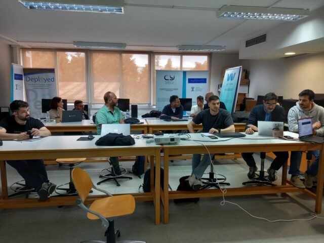
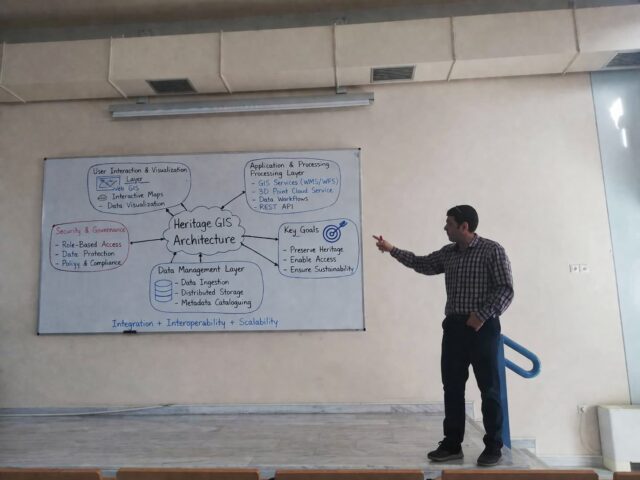
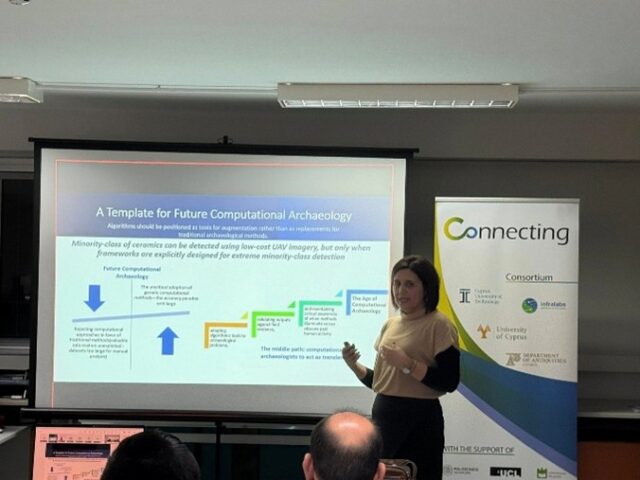
April 2025

CONNECTING CTKO meeting

Today, an online meeting took place with the participation of Apostolos Papakonstantinou from the CUT and Efi from Infralab. During the discussion, key topics were addressed regarding the Central Knowledge Transfer Office (CTKO) of the Research and Innovation Foundation (RIF), with a focus on knowledge transfer opportunities and strengthening innovation between research institutions and the market.

The CONNECTING Project at the 4th International Conference TMM-CH 2025

The CONNECTING project was presented at the 4th International Conference TMM-CH (7–9 April 2025, Eugenides Foundation, Athens) in Session 10a: Digital Heritage in AI – A Holistic Approach, with a talk by Dr. Athos Agapioy titled “Innovative Geospatial and Engineering Solutions for Cultural Heritage”. The presentation outlined the project’s goals, highlighting the developed infrastructure, advanced equipment such as the DJI Matrice 350 RTK drone with Zenmuse P1, L2, HAIP hyperspectral sensor, and CHCNAV laser scanner and the tools supporting heritage...

Internal Meting CUT – Infralabs

Today, a meeting was held between CUT and Infralabs to discuss the upcoming CKTO meeting and the management of IPRs for the CONNECTING project. CKTO’s role in knowledge transfer and commercialisation was highlighted, including support for networking, capacity building, and developing guides and templates for KT agreements. Additionally, funding options for IPR protection were discussed. On IPR management, the team focused on protecting and utilizing Foreground and Background IPRs, identifying regulatory barriers, and strategies for reusing the CONNECTING Data Centre. Key...

Internal Meting CUT

Today, an internal meeting was held to discuss and prepare for the remaining deliverables to be completed by the end of the project. The team focused on the upcoming evaluation by RIF' s, outlining the necessary preparations and finalizing the selected case studies, which are expected to take place in May and June.

March 2025

CONNECTING presented at MSc in Geoinformatics and Earth Observation

Earlier today, MSc students enrolled in the MSc in Geoinformatics and Earth Observation program had the opportunity to gain insights into the innovative CONNECTING project. The demonstration was held as part of the "Earth Observation for Environmental Monitoring" course and was presented by PhD candidate Argyro Argyrou. The session provided a brief yet comprehensive overview of the CONNECTING project's objectives, methodologies, and applications in the field of environmental monitoring. Students were introduced to the project's contributions to the advancement of...

Internal Meeting

Today, the annual meeting was held, bringing together project members to discuss key updates and upcoming milestones. A major focus was the upcoming evaluation by the Research and Innovation Foundation (ΙΔΕΚ), set to take place by May, along with necessary preparations for the archiving of equipment tenders. The discussion also highlighted the progress of case studies, with two new study areas identified in Mazotos-Makounta (Larnaca) and Agioi Iliofoti (Acheras). Additionally, a new collaboration with the ENGINEER project was confirmed for...

Interactive Web Application Showcasing Mavrokolympos Dam Aerial Survey Results in 2D and 3D

Additionally, the team developed a web application in ArcGIS Online to publicly showcase the survey results in both 2D and 3D views. The web application includes all the processed data, allowing users to explore the dam’s topography, DEM, DSM, contour lines and orthomosaic interactively. You can view the app through the provided link, where all the detailed findings and visualizations are accessible to the public for further research and analysis. This survey plays a crucial role in advancing water management efforts...

Successful Aerial Survey of Mavrokolympos Dam – Delivered at Water Development Department

On February 15, 2025, a team of scientists from the Cyprus University of Technology (CUT) successfully conducted a detailed aerial survey of the Mavrokolympos Dam in Paphos. The survey was carried out using state-of-the-art drone technology equipped with high-resolution cameras and LiDAR sensors. The team utilized the DJI Matrice 350 RTK drone, along with the Zenmuse P1 camera and Zenmuse L2 LiDAR system, to capture precise topographical data. The collected data was processed using the CGRS93 coordinate reference system (EPSG:6312), ensuring...

Demonstration of the SLAM CHCNAV RS10 for Civil Engineering and Geoinformatics Students at CUT

As part of the course Monument Documentation (GEO 436), a hands-on demonstration of the SLAM CHCNAV RS10 took place today for the 4th-year students of the Department of Civil Engineering and Geoinformatics at the Cyprus University of Technology (CUT). The demonstration was conducted by Prof. Dimitrio Skarlato, PhD candidate Marino Vlacho, and postgraduate student Giorgo Kafatari, all members of the Connecting Project. During the session, students had the opportunity to explore the capabilities of the SLAM (Simultaneous Localization and Mapping) technology...

Internal Meeting for Interim Report

The online meeting was successfully held, during which important aspects of the project's progress were discussed. Updates were provided on the interim report, which will be shared for feedback by the end of February, as well as on the requirements for the financial report. Additionally, the progress of upcoming deliverables, the management of IPRs, and the scheduling of a meeting with the Central Knowledge Transfer Office (CKTO) were reviewed. Discussions also covered issues related to equipment procurement and the management of...